Graphic Information Sciences endorses the
Better Business Bureau Serving Southwest Virginia!
www.bbb.org/local-bbb/bbb-of-western-virginia
View their web site (will open in a new browser window)
Imaging and Graphic Design
|
Graphic Information Sciences endorses the www.bbb.org/local-bbb/bbb-of-western-virginia |
Imaging and Graphic Design
|
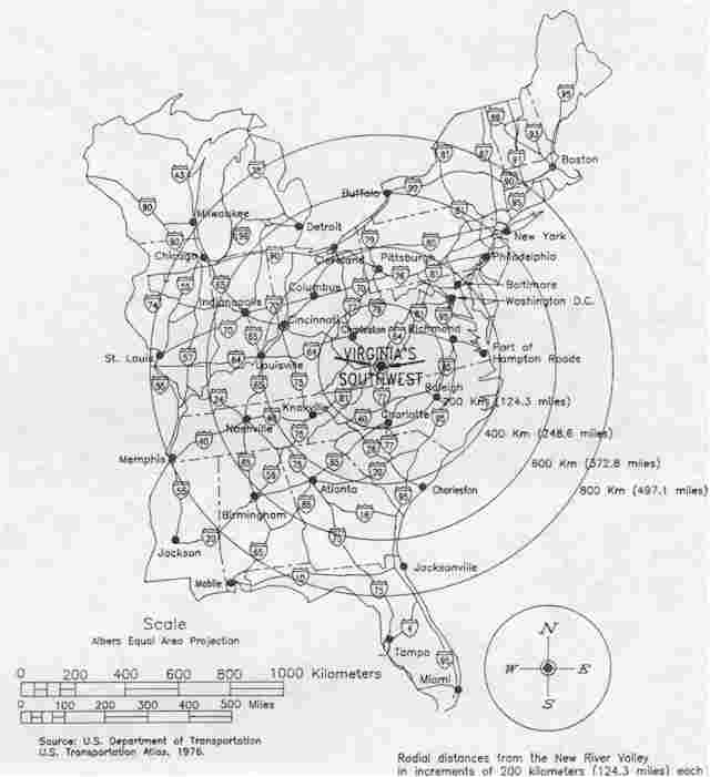
Mapping and Satellite Imaging Products and Services
Graphic Information Sciences is pleased to offer Online Topo Maps, Nautical Charts, Area Charts and Navigation Photos via the MapTech MapServer ®. Click here to visit the MapTech MapServer web site!
Graphic Information Sciences offers complete satellite imaging and topographic coverage of the Commonwealth of Virginia using MapTech, Inc's. Terrain Navigator Pro ® software! Typical map information includes USGS Reference Codes, Map Scale (1:12,000 for satellite imagery), Map Type (i.e. Orthophotomap), Universal Transverse Mercator Map Projection, Vertical Datum: National Geodetic Vertical Datum 1929; Horizontal Datum: North American Datum 1983; Created/Revised/Inspected (typically late 1990's); and Latitude and Longitude.
Place name lookup capabilities of the Terrain Navigator Pro ® software include: Airports; Benchmarks; Bridges; Buildings; Churches; Falls; Hospitals; Lakes; Parks, Reservoirs; Ridges; Schools; Summits; Towers; and, many other categories of named geographic features.
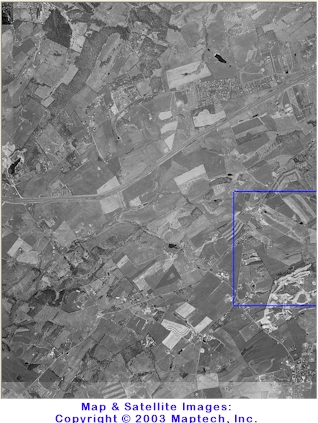
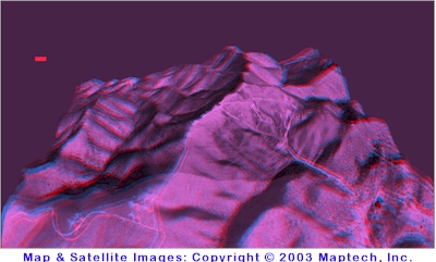
Some examples are presented below to show the variety of available presentations! For more details about our value-added mapping and satellite imaging products and services, please contact Graphic Information Sciences via email at admin@gisone.com
|
|
|
|
|
|
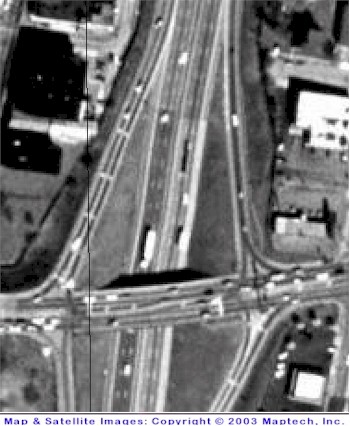
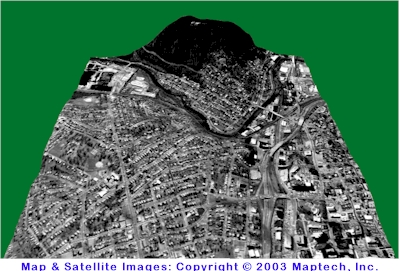
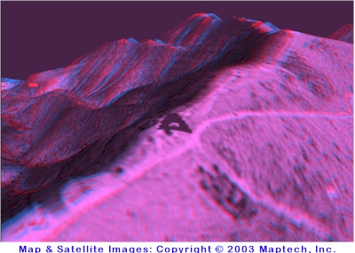
This image of the Elm Avenue area of Roanoke is an example
of the maximum resolution available using the MapTech, Inc. Terrain Navigator Pro satellite imagery.
Maps Copyright 2003 by MapTech, Inc.
Please note that images presented here have been reduced in size and resolution for presentation on the web. Thank you!
Click the MapTech icon below to visit the MapTech MapServer site:![]()
Our Privacy Policy
Effective February/09/2007
Our Commitment To Privacy
Your privacy is important to us. To better protect your privacy we provide this notice explaining our online information practices and the choices you can make about the way your information is collected and used. To make this notice easy to find, we make it available on our homepage and at every point where personally identifiable information may be requested.
The Way We Use Information:
We use return email addresses to answer the email we receive. Such addresses are not used for any other purpose and are not shared with outside parties.
Our Commitment To Data Security
To prevent unauthorized access, maintain data accuracy, and ensure the correct use of information, we have put in place appropriate physical, electronic, and managerial procedures to safeguard and secure the information we collect online.
Our Commitment To Children's Privacy:
Protecting the privacy of the very young is especially important. For that reason, we never collect or maintain information at our web site from those we actually know are under 13, and no part of our web site is structured to attract anyone under 13.
How To Contact Us
Should you have other questions or concerns about these privacy policies, please call us at  or send us an email at admin@gisone.com.
© Copyright 2009 by Graphic Information Sciences
All rights reserved worldwide.

email: admin@gisone.com